Canso Causeway: World’s Deepest Causeway Connecting Cape Breton — Facts & Construction History
Nova ScotiaConnecting Auld's Cove to Port Hastings
Canso Causeway: The World’s Deepest Causeway
The Canso Causeway is the world’s deepest causeway, connecting Cape Breton Island to mainland Nova Scotia across the Strait of Canso. Opened in 1955, this massive rock-fill structure eliminated the need for ferry service and fundamentally changed Cape Breton’s connection to the rest of Canada. It remains one of the most impressive post-war engineering projects in Canadian history.
Causeway Facts
| Stat | Details |
|---|---|
| Length | 1,385 m (4,544 ft) |
| Opened | August 13, 1955 |
| Rock Fill Used | 10 million tons |
| Maximum Water Depth | 65 m (213 ft) at deepest point |
| Designation | World’s deepest causeway |
Before the Causeway
Prior to 1955, the only way to reach Cape Breton Island was by ferry. The crossing was subject to weather delays, ice conditions, and limited capacity. In winter, the Strait of Canso could freeze, cutting off reliable access entirely. Cape Breton’s economy, health services, and daily life were all constrained by this dependence on ferry schedules and sea conditions.
Building the Causeway
Construction began in 1952 and required moving 10 million tons of rock — blasted from nearby Cape Porcupine — into the Strait. The water depth at the crossing point reached 65 metres, making this the deepest causeway ever attempted. The rock was dumped from barges and gradually built up from the sea floor until it breached the surface, creating a permanent land bridge where open ocean had existed for millennia.
The Canso Canal & Lock
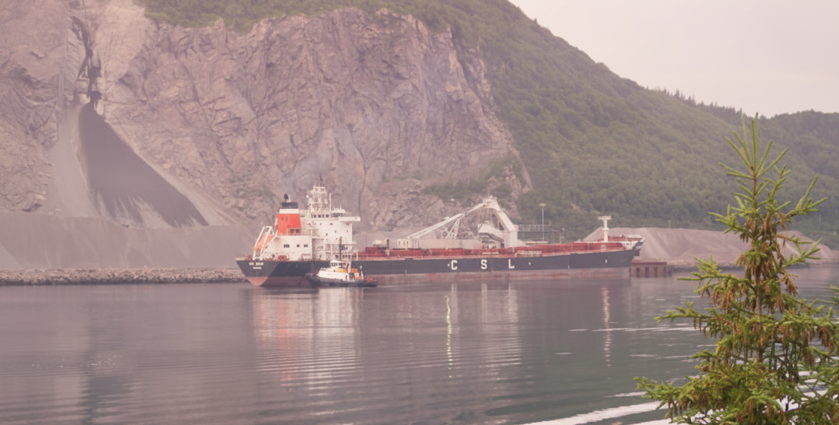
Blocking the strait with a solid causeway would have cut off ship traffic between the Atlantic Ocean and the Gulf of St. Lawrence. To address this, engineers built the Canso Canal — a navigable channel with a swing bridge — on the Cape Breton side. The lock system allows vessels to pass through while maintaining the causeway’s integrity. The canal handles commercial shipping, fishing vessels, and pleasure craft year-round.
Environmental & Economic Impact
- Altered tidal patterns — the causeway permanently changed water flow in the Strait of Canso, creating calmer conditions on the south side
- Deep-water port — the sheltered waters south of the causeway enabled the development of the Point Tupper industrial area and the Strait of Canso Superport
- Tourism boom — reliable road access transformed Cape Breton tourism, making the Cabot Trail and Fortress of Louisbourg easily reachable by car
- Year-round connection — Cape Breton communities gained permanent access to mainland hospitals, universities, and supply chains
Today, every vehicle heading to Cape Breton — whether bound for the Cabot Trail, the Bras d’Or Lakes, or Sydney — crosses the Canso Causeway. It is the sole road link between the island and the mainland.